

Showing posts with label mississippi river. Show all posts
Showing posts with label mississippi river. Show all posts
October 31, 2022
October 28, 2022
High Tide On The Mississippi River

Everything looks good on the Mississippi River, way up here in Minnesota. Our lock and damn system is working great to create the pools of water needed to keep the river from drying out. There aren't however, any lock and damns after Missouri.
October 14, 2022
Fall Colors On The Mississippi

Fall is here in the Twin Cities. Can you spot the difference from my last posted photo?
October 7, 2022
Smith Avenue Bridge

This is the Smith Avenue Bridge, officially known as National Bridge Number ID #62090, but to locals, it's simply called 'The High Bridge'. Standing at 160 feet, it is the tallest bridge in Minnesota. Stretching 2,760 feet in length, it connects St. Paul’s West Side neighborhood with the West End neighborhood.
September 12, 2022
Hasting Bridge At Sunset

The Hastings Bridge does have a lot of great locations to capture it well. Throwing in a blooming sunset just adds to it.
August 3, 2022
Tugboat Itasca

Measuring in at 65 feet in length, Tugboat Itasca pushes downstream in the Mississippi River
April 27, 2022
Low Tide On The Mississippi
-01.jpeg)
I snapped this photo back in August of 2021. The water levels were very low, but we just went through an extended dry period for the majority of Minnesota. It started with very little snow in the winter, not much rain in the spring and water levels everywhere in the state was a concern.
April 14, 2022
Reflections On The Water

September 14, 2020
Saint Paul Municipal Elevator

It has been a while since I've captured the old Saint Paul Municipal Elevator. Actually, it's been a really long times since I've posted on my photo blog. I was bored, it felt like a chore, lost interest, no time. Take your pick, but it's a combination of all of those.
Anyway, the last time I posted a photo of the tower, it was unpainted, falling apart, and looked like it should be torn down. Today it is restored, at least on the outside, and connects to the City House building. When we first were here, it was called the Red River Kitchen, but it is under new management and I would guess the name change. We love coming here for food, drinks and a walk along the Mississippi River and you would as well.
July 13, 2011
Issaquena
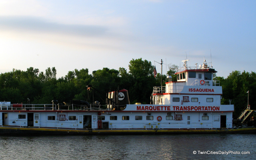 Issaquena County is located in the state of Mississippi....is this where this tugboat calls home?
April 22, 2011
Lock And Dam 1
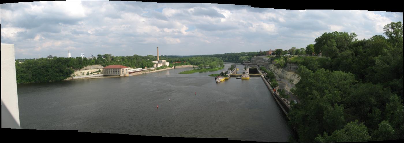 Panoramic shot taken while on the Ford Parkway Bridge, which cross the Mississippi River. In the distance is Lock and Dam 1 originally constructed in 1917, then reconstructed in 1929 [though I'm reading conflicting dates, but I'll go with these] to allow for hydro power to be developed. The structure is 574 feet, the locks are 56 feet wide, 400 feet long.
February 15, 2011
Side By Side
 Many different ways to travel all intersect above, below and side by side. My location is the Wabasha Street Bridge looking east.
January 29, 2011
Replacement In Progress
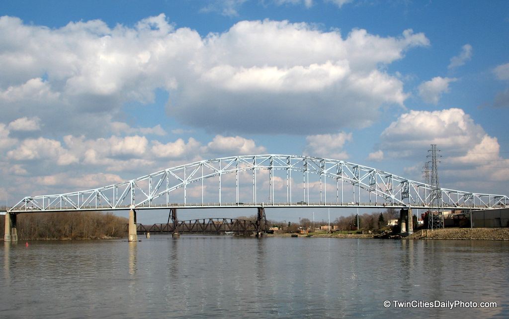 The Hastings Bridge crossing the Mississippi River is currently under construction. The project is to replace the aging bridge with two separate bridges, which will keep the traffic flowing throughout the construction phases. You can follow the bridge progress on the MNDot website: Highway 61 Hasting Bridge
November 16, 2010
Two Big Boats
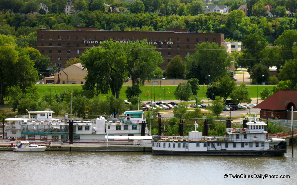 The large boat on the left is the River Boat Grill restaurant, while the boat on the right is the Covington Inn, a bed and breakfast.
August 11, 2010
August 6, 2010
April 28, 2010
April 10, 2010
High Waters
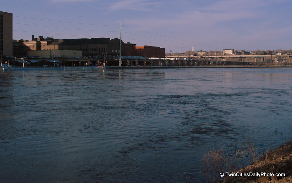 This was a couple days after the peak height of the Mississippi River floods in the Twin Cites, during the spring of 2010.
March 30, 2010
Twin Cities Flood 2010
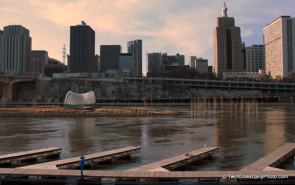 It took me a few days to get down here, and I certainly didn't make it to the Mississippi River at the peak of the flooding. But there still is quite a bit of water flowing down stream. Some parts in this area, the water spilled over the banks as they had to close Sheppard Road down, which is located directly across the river. The island, about half way out, is partly under water stlll, you can tell by the trees submerged into the river.
December 11, 2009
Subscribe to:
Posts (Atom)