April 20, 2012
Minnesota Map
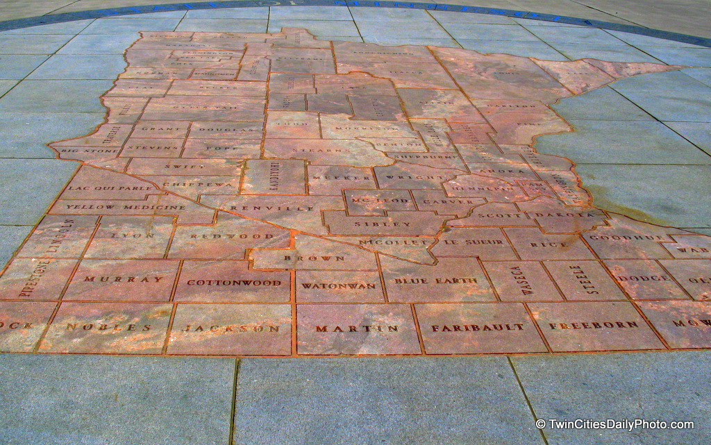
Over by the State Capital building, you'll find this very large map of Minnesota. The borders make up all of the counties of Minnesota. It has to be roughly 40 feet in size and was quite difficult to photograph while standing on the ground.
No comments:
Post a Comment
Newer Post
Older Post
Home
Subscribe to:
Post Comments (Atom)

 Over by the State Capital building, you'll find this very large map of Minnesota. The borders make up all of the counties of Minnesota. It has to be roughly 40 feet in size and was quite difficult to photograph while standing on the ground.
No comments:
Post a Comment